Quick Facts
- Primary Goal: Ensure safety through permit compliance and gear readiness.
- Permit Window: Boaters must apply between December 1 and January 31 for the lottery.
- Peak Season: The high-use season runs from June 20 to September 7.
- Hydrology Alert: High-water caution is advised above 25,000 CFS on the combined gauge.
- Mandatory Gear: Every group must carry a fire pan, an ash container, and a portable river toilet.
- Rapid Rating: The river features Class III-IV pool-drop rapids requiring intermediate to advanced skills.
- Shuttle Duration: The vehicle shuttle from Salmon to Riggins takes approximately 9.5 hours.
Navigating the 'River of No Return' safely requires expert preparation. This Main Salmon rafting guide covers the technical skills needed to handle class III-IV rapids, the legal requirements for Main Salmon River rafting permits, and the mandatory gear list for a successful multi-day wilderness expedition. To raft the Main Salmon River safely, boaters must secure a permit via the Four Rivers lottery (Dec 1-Jan 31), verify water levels using the Shoup gauge, and carry USFS-mandated safety equipment including a Z-drag kit and fire pan.
Securing Main Salmon River Rafting Permits
The journey through the Frank Church Wilderness begins long before you hit the water. It starts at your computer during the winter months. To launch during the primary floating season—June 20 through September 7—you must navigate the Four Rivers lottery system through recreation.gov. The application window is strictly open from December 1 to January 31. This is a highly competitive process, as the Main Salmon is one of the most sought-after multi-day wilderness expedition experiences in the lower 48 states.
If you miss the lottery or aren't lucky enough to draw a date, keep an eye on the site for cancellations. The Forest Service maintains a 21-day cancellation window. If a permit holder cancels their reservation, that spot usually becomes available online within 24 hours. However, be warned: the Salmon-Challis National Forest takes its regulations seriously. There is a strict 3-year ban penalty for no-shows. If you secure a date and fail to show up or cancel within the required timeframe, you will be barred from holding a permit on the Main Salmon, Middle Fork, Selway, or Snake Rivers for the next three seasons.
For those looking to avoid the peak crowds and the lottery stress, pre-season and post-season permits offer a different kind of adventure. These permits are available for application starting October 1 for the following year. While the weather in may or late September can be unpredictable, the solitude found in the wilderness during these periods is unmatched. Regardless of when you go, all groups must carry a printed and signed permit, pay a daily recreation fee for each person, and obtain Aquatic Invasive Species stickers for all watercraft to comply with Idaho state law.
Technical Hydrology: How to Read Water Levels
Understanding the Salmon River whitewater hydraulics requires more than a quick look at a single data point. Because the river is undammed, flows can fluctuate wildly based on snowpack melt and spring rain. To get an accurate picture of what you will face at the Corn Creek launch site, you must use a dual-gauge calculation method. You need to combine the flow from the Middle Fork confluence and the Shoup gauge to determine the actual volume moving through the canyon.
Water levels are measured in cubic feet per second (CFS) or via the Shoup gauge stage height in feet. For most private rafting groups, a stage height between 3 and 6 feet represents the "sweet spot" of fun, manageable Class III-IV rapids. However, when the Shoup gauge measurement climbs above 6 feet (roughly 25,000 CFS), the river's character changes dramatically. High-water conditions can create massive wavetrains and powerful hydraulics even in sections marked as flat on standard maps. According to the U.S. Forest Service, a competent boatman for the Main Salmon River is defined as an individual who has navigated at least 50 miles of a classified river of similar character and hazardous conditions.
| Shoup Gauge Height | Characteristic | Safety Recommendation |
|---|---|---|
| Below 3 Feet | Technical / Rock dodges | Great for smaller rafts and kayaks. |
| 3 to 6 Feet | Classic Pool-Drop | Ideal for standard multi-day gear loads. |
| 6 to 8 Feet | High Water / Powerful | Recommended only for highly experienced boaters. |
| Above 8 Feet | Extreme / Flooding | High risk of boat flips and long swims in cold water. |
Essential Main Salmon Rafting Gear List
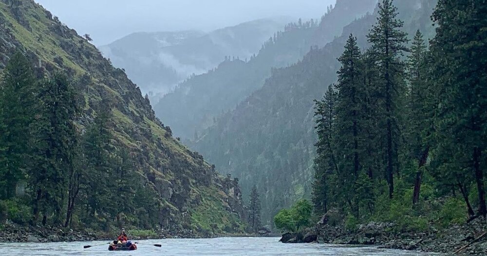
Packing for the Main Salmon is a balance between personal safety and federal compliance. Federal regulations require all rafting parties on the Wild Main Salmon River to carry specific safety and environmental equipment, including a fire pan, a shovel, and a portable toilet. These requirements are designed to protect the pristine Frank Church Wilderness and uphold Leave No Trace ethics in a high-traffic river corridor.
The mandatory USFS gear includes:
- Portable River Toilet: Often called a groover, this must have a sealable lid and be capable of carrying all solid human waste out of the canyon.
- Fire Pan and Ash Container: All fires must be contained within a metal pan with at least a 2-inch lip. All ash must be packed out.
- Kitchen Strainer: A fine-mesh strainer is required to remove food particles from kitchen grey water before it is disposed of in the river.
- Heavy Duty Bucket and Shovel: For fire safety and camp sanitation.
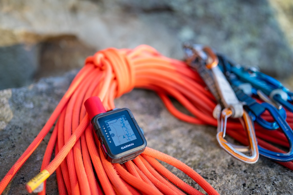
Beyond the legal requirements, your Main Salmon rafting gear list must prioritize survival in the event of a boat flip. The water is cold, even in July. Every group should pack a hypothermia kit containing dry fleece layers and wool baselayers kept in a dedicated dry bag. For recovery, a Z-drag kit is non-negotiable. This includes ropes, pulleys, and carabiners used to create a mechanical advantage system to pull stuck boats off rocks. For footwear, the best river shoes for Salmon River rafting side hikes are those with high-friction rubber soles (like Vibram or Stealth rubber) and closed toes to protect against the rugged Idaho terrain.
Salmon River Class III-IV Rapids Navigation
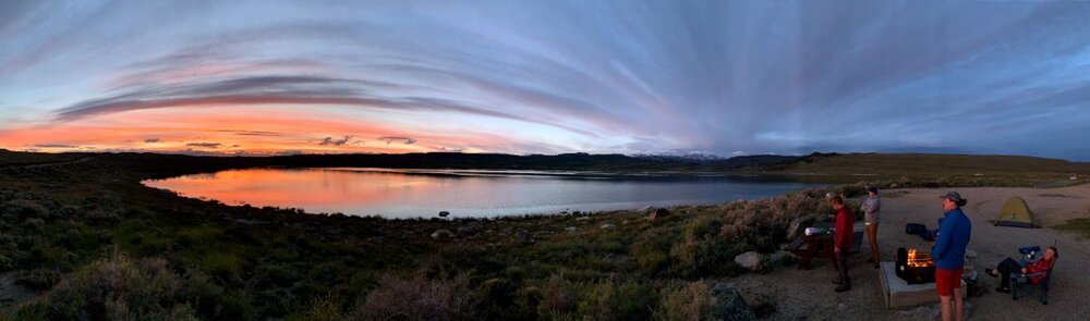
The Main Salmon is famous for its pool-drop rapids. This means you generally have a stretch of calm water after a big rapid to recover gear or swimmers. However, when navigating Salmon River Class III-IV rapids navigation, the difficulty varies significantly with the CFS. You must know how to identify V-tongues—the "clean" water entering a rapid—and avoid the "holes" or recirculating hydraulics that can stall a raft.
Mile Marker Alert: Mile 7 - Velvet Falls At higher flows, Velvet Falls creates a massive, river-wide hole that can easily flip an 18-foot gear boat. The standard move is a "cheat" on the far left, but if the water is over 5 feet on the Shoup gauge, the window for safety narrows.
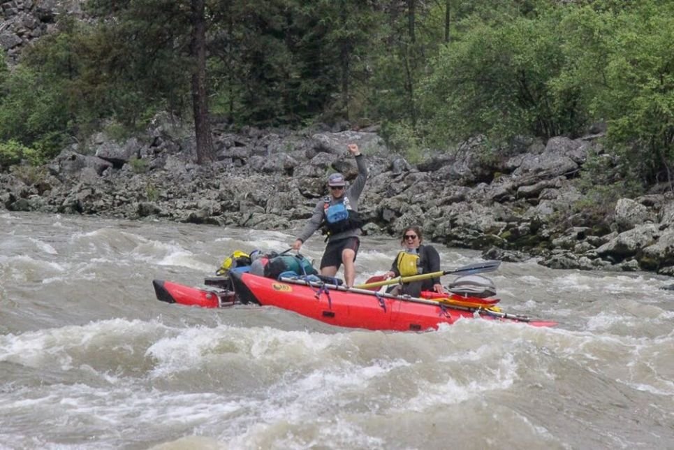
As you progress through the 80-mile reach, you will encounter legendary drops like Black Canyon and Big Mallard. Big Mallard is particularly notorious for its large rocks and powerful lateral waves. Successfully navigating these sections requires proactive rowing and the ability to execute a boat flip recovery quickly. If a raft does flip, the primary goal is getting the crew back on the boat or to shore immediately. According to data from the American Whitewater Association, the fatality rate for whitewater rafting is approximately 0.55 deaths per 100,000 user-days, a statistic that underscores the importance of wearing a properly fitted PFD and a whitewater helmet at all times.
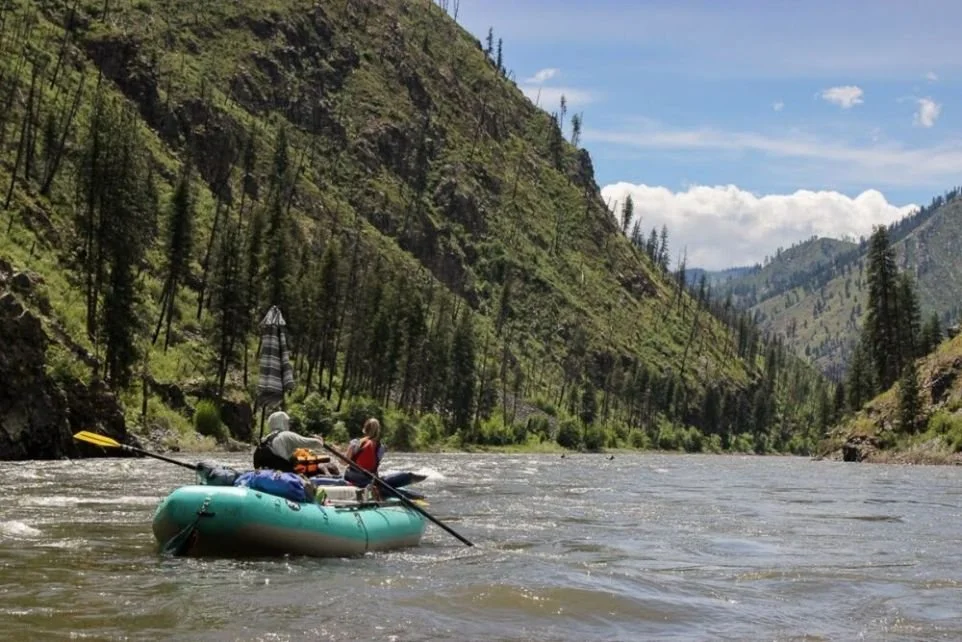
Toward the end of the trip, usually around Mile 57, you hit Tappan Falls. This is a classic drop that requires a precise move to avoid the center rock. While the rapids are the draw, the Frank Church Wilderness itself is the backdrop. The desolate, rocky cliffs provide an awe-inspiring sense of scale, reminding every paddler that they are mere visitors in a truly wild landscape.
Post-Trip Logistics and Shuttles
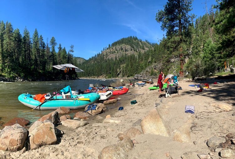
The logistics of an 80-mile wilderness river trip are formidable. Most private groups launch at Corn Creek, about two hours north of Salmon, Idaho, and take out at Carey Creek or Vinegar Creek near Riggins. Because there are no roads through the wilderness area, your vehicles must be driven around the mountain range.
Reliable Salmon to Riggins shuttle services for private rafting groups are a standard expense for this trip. The drive is roughly 350 miles and takes 9.5 hours for the drivers to complete. You typically leave your keys with a shuttle company at Corn Creek, and your vehicles are waiting for you at the boat ramp when you float in five or six days later. It is a seamless but essential logistics management step that allows you to focus entirely on the river during your transit. Once you reach Riggins, you are back in civilization, usually ready for a hot meal and a soft bed after nearly a week in the heart of Idaho's backcountry.
FAQ
Do I need a permit for a Main Salmon rafting trip?
Yes, a permit is required year-round. During the peak lottery season (June 20–Sept 7), you must win a slot through the Four Rivers lottery. Outside of those dates, you can pick up a self-issue permit or reserve a remaining date on recreation.gov starting in October.
What should I pack for a multi-day Salmon River trip?
Your packing list should include USFS-mandated gear like a fire pan and portable toilet, plus personal essentials: a high-quality PFD, a whitewater helmet, a hypothermia kit with wool layers, and plenty of sun protection. Don't forget a Z-drag kit for boat recovery.
Is Main Salmon rafting safe for families with kids?
At moderate water levels (3-5 feet on the Shoup gauge), the Main Salmon is a premier choice for families due to its large sandy beaches and pool-drop nature. However, during high spring runoff, the river can be too dangerous for young children or inexperienced groups.
Are the rapids on the Main Salmon River difficult?
Most rapids are rated Class III, making them intermediate. There are several Class IV drops, such as Big Mallard and Tappan Falls, that require precise maneuvering. The difficulty increases significantly at high water levels above 20,000 CFS.
Where does a Main Salmon River rafting trip start and end?
Most expeditions begin at the Corn Creek boat launch, located at the end of the Salmon River Road near the town of Salmon, Idaho. The trip typically ends at Carey Creek or Vinegar Creek, approximately 30 miles upstream from Riggins, Idaho.
The Main Salmon River remains the crown jewel of American whitewater for a reason. Its combination of technical water, strict conservation through the permit system, and deep wilderness isolation offers an experience unlike any other. By respecting the hydrology, packing the right gear, and adhering to Forest Service regulations, you ensure that the River of No Return remains a safe and pristine destination for generations to come. Be sure to check current Salmon-Challis National Forest alerts before you depart for the put-in.